EmbeddingGemma 2: an open, lightweight multimodal embedding model
deepmind.google·6d ago
TL;DR
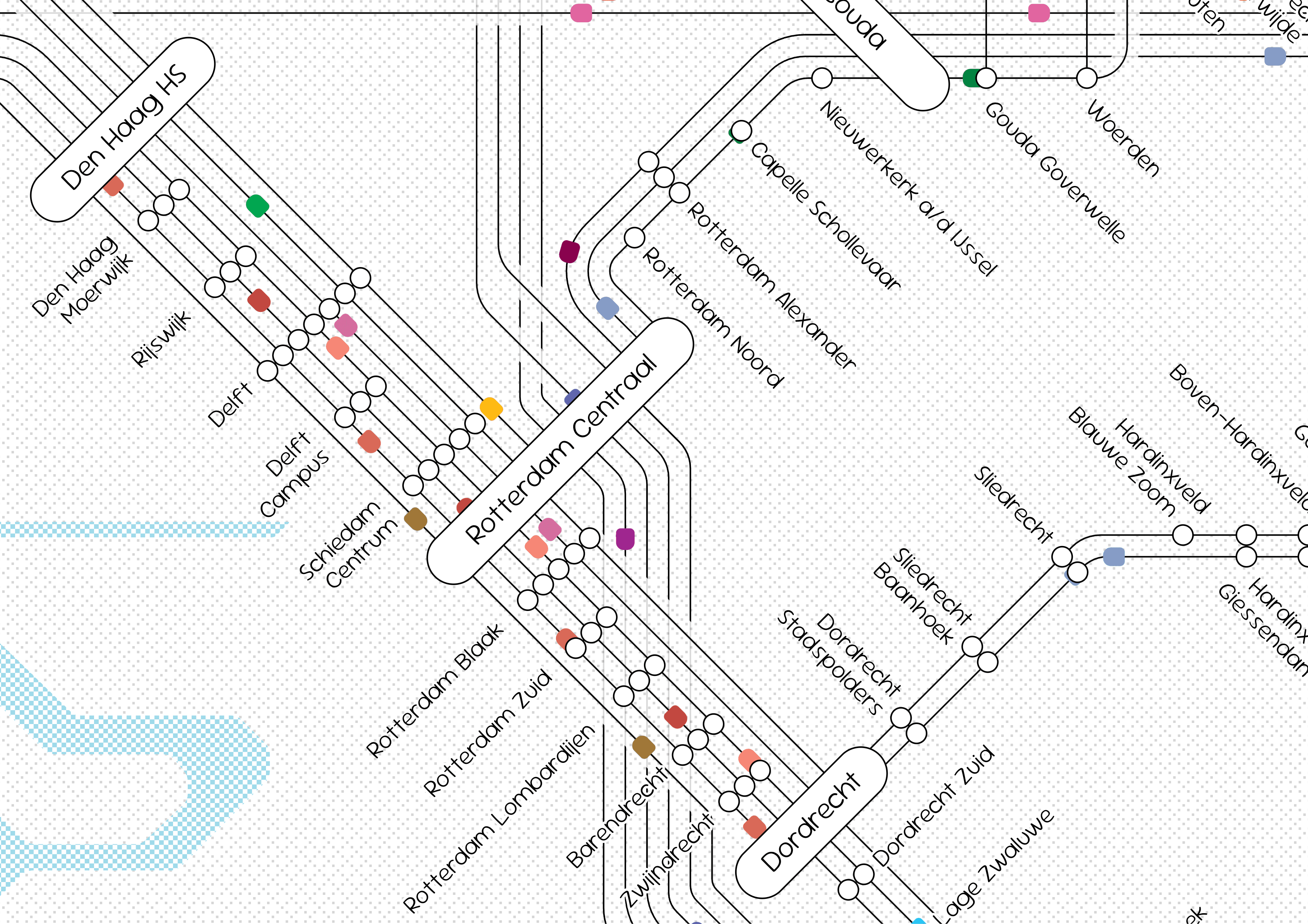
A Dutch Train Map Simulator was developed to visualize train routes and schedules in the Netherlands, enhancing user engagement and understanding of the rail network. The simulator allows users to interactively explore train connections and travel times.
✦ Why It Matters
Explore the Dutch Train Map Simulator today to enhance your travel planning and understanding of train routes.
Key Takeaways
Full Summary
The Dutch Train Map Simulator is a visualization tool designed to represent the intricate network of train routes and stations in the Netherlands. Users can interact with the map by zooming in and out, adjusting line thickness, and modifying font weight for better readability.
The simulator allows for a clear depiction of train tracks and stations, making it easier for users to analyze and plan travel routes. By providing a customizable interface, the tool caters to various user preferences, enhancing the overall experience.
The implications of this simulator extend to urban planning and transportation analysis, offering insights into train network efficiency and accessibility. Such tools can significantly improve public transport planning and user engagement.
Related