EmbeddingGemma 2: an open, lightweight multimodal embedding model
deepmind.google·6d ago
TL;DR
A software tool was developed to optimize trail running routes, successfully planning a 23.8-mile run on San Francisco's Angel Island. The run was completed in about five hours, demonstrating the effectiveness of the route optimization algorithms used.
✦ Why It Matters
Consider developing or using route optimization tools for your next outdoor adventure to enhance efficiency.
Key Takeaways
Full Summary
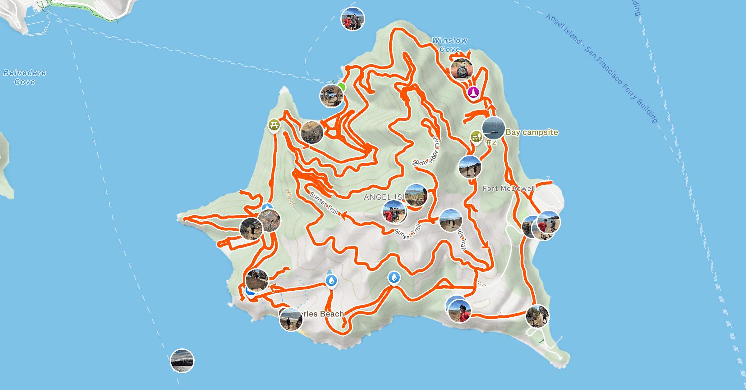
Tracing, originally from the New Hampshire hiking community, involves completing all trails in a designated area. Inspired by a friend's long run, a software engineer created a tool to efficiently plan a run on San Francisco's Angel Island, which has a complex network of 19.4 miles of trails.
The software utilized various mapping techniques, including popularity heat maps, and implemented algorithms to solve the Chinese postman problem, which aims to find the shortest path that visits every edge of a graph. After testing on local trails, the optimized route for Angel Island was planned at 23.8 miles, including 4.4 miles of retraced trails.
The actual run covered 24.6 miles due to detours, completed in approximately five hours. This project highlights the potential of software tools in enhancing outdoor activities through data-driven route planning.
Related