Agentic data science with the Data Agent Kit
cloud.google.com·7h ago
TL;DR
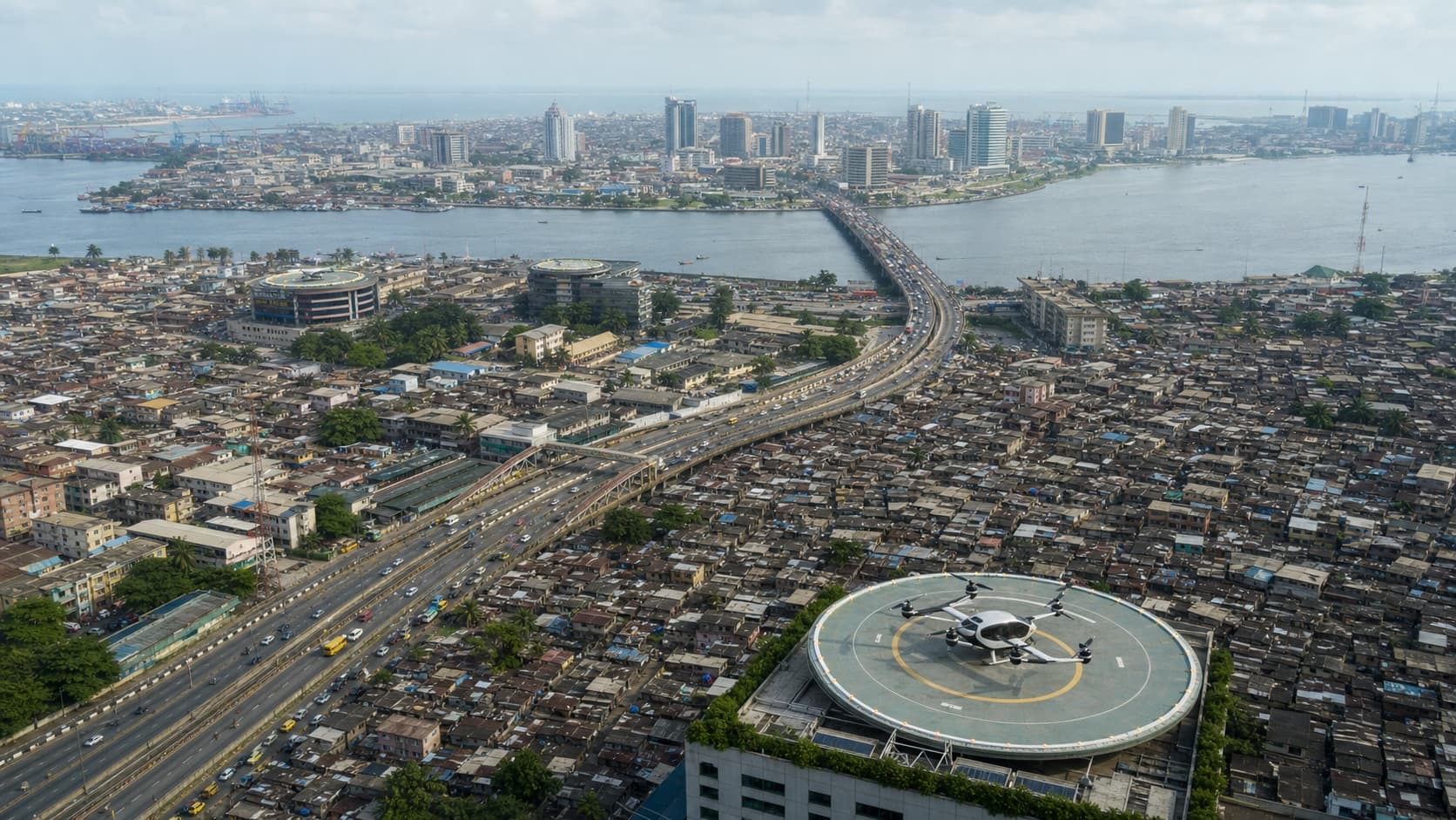
Geospatial machine learning was applied to determine optimal vertiport locations in Lagos, considering population density, transport access, and airspace constraints. The study provides a framework that can be adapted for any urban area.
✦ Why It Matters
Urban planners can use this framework to identify potential vertiport locations in their cities today.
Key Takeaways
How It Works
The method utilizes population density as a proxy for travel demand, enhancing it with accessibility scores from nearby roads and transit hubs. Exclusion criteria are applied to remove locations that are unsafe or unbuildable, such as those near airports or on water.
K-means clustering is then used to group and rank the remaining viable sites based on weighted demand.
Related