EmbeddingGemma 2: an open, lightweight multimodal embedding model
deepmind.google·6d ago
TL;DR
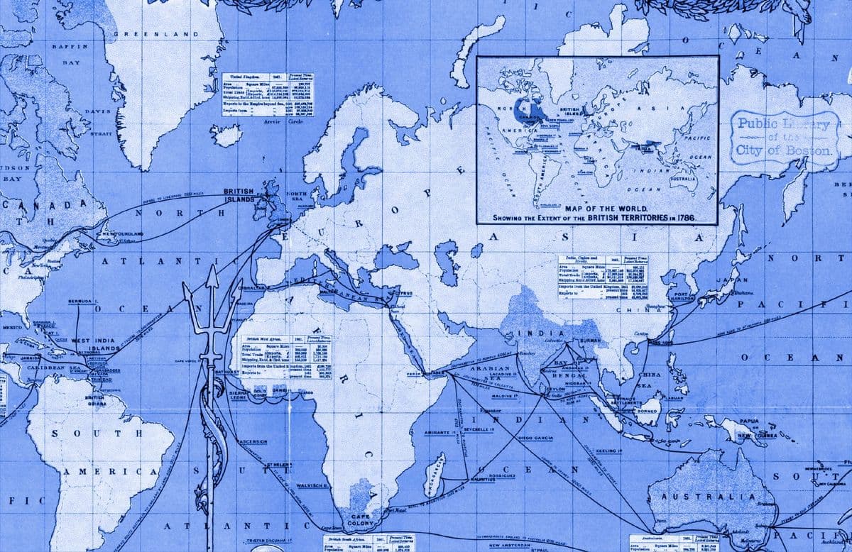
The UN has endorsed a resolution to promote map projections that accurately represent the true size of continents, effectively replacing the long-dominant Mercator projection. This decision, supported by 164 countries, aims to reshape global perceptions of geography.
✦ Why It Matters
Consider using alternative map projections in your projects to promote accurate geographical representation.
Key Takeaways
How It Works
Equal Earth uses curved lines to represent landmasses, distributing distortion more evenly than previous projections. This allows for accurate size representation while maintaining a more natural appearance of continents.
Related