EmbeddingGemma 2: an open, lightweight multimodal embedding model
deepmind.google·6d ago
TL;DR
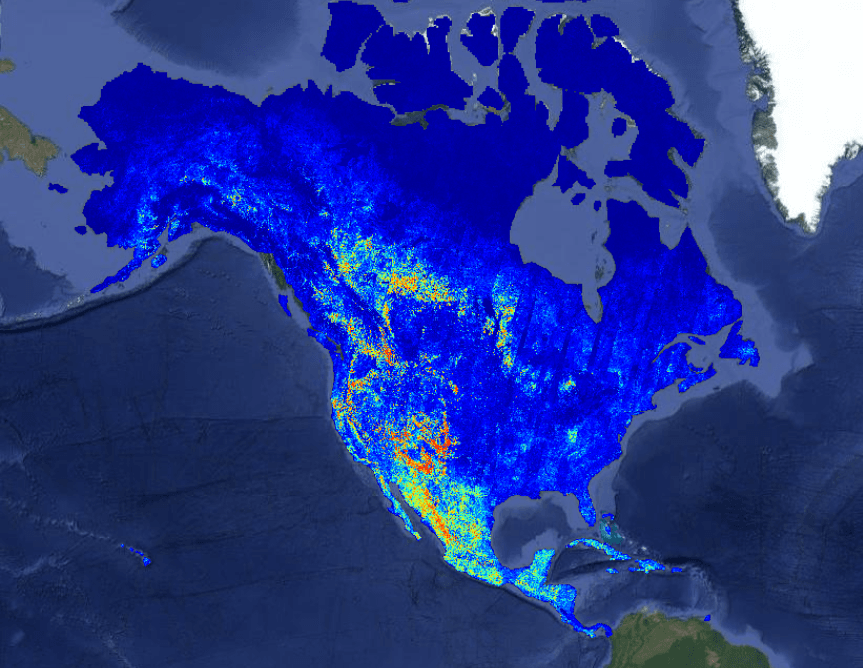
OlmoEarth is a platform for large-scale geospatial inference, utilizing 10 terabytes of satellite data to support environmental monitoring. It enables organizations to efficiently process and analyze satellite imagery for applications like deforestation and food security.
✦ Why It Matters
Explore how the OlmoEarth Platform can enhance your organization's environmental monitoring capabilities today.
Key Takeaways
How It Works
The OlmoEarth Platform processes satellite imagery by dividing tasks into three stages: data acquisition, inference, and postprocessing. Each stage is optimized for specific hardware, allowing for efficient use of CPUs for data handling and GPUs for model inference.
This division enables parallel processing across thousands of compute instances, significantly speeding up the overall processing time.
Related