EmbeddingGemma 2: an open, lightweight multimodal embedding model
deepmind.google·6d ago
TL;DR
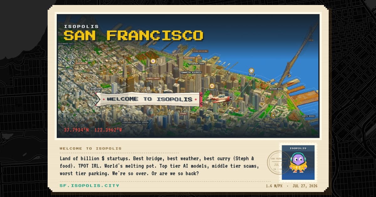
Isopolis is an isometric pixel map of San Francisco created using OpenStreetMap data and CARTO tools, providing a unique visual representation of the city's neighborhoods. This project showcases the potential of combining open-source mapping data with creative visualization techniques.
✦ Why It Matters
Explore Isopolis to gain insights into urban mapping and visualization techniques for your own projects.
Key Takeaways
Full Summary
Isopolis utilizes OpenStreetMap data to generate an isometric pixel map of San Francisco, allowing users to explore the city's neighborhoods in a visually engaging way. The project employs CARTO's mapping tools, which facilitate the transformation of geographic data into interactive visual formats.
By representing neighborhoods in an isometric style, Isopolis offers a fresh perspective on urban landscapes, making it easier for users to understand spatial relationships and community layouts. The map is designed to be user-friendly, encouraging exploration and interaction with the data.
This innovative approach to mapping not only enhances aesthetic appeal but also serves as a tool for urban analysis and planning. The implications of such visualizations can lead to better community engagement and informed decision-making in urban development.
Related