EmbeddingGemma 2: an open, lightweight multimodal embedding model
deepmind.google·6d ago
TL;DR
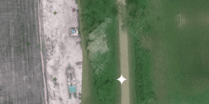
Using the DJI Lito X1 drone, aerial mapping can be completed in under 30 minutes, providing high-quality reference maps that surpass Google Maps imagery. This process involves planning the flight, executing it, and uploading images efficiently.
✦ Why It Matters
Start using the DJI Lito X1 for quick and efficient aerial mapping today.
Key Takeaways
How It Works
The process involves planning the flight path and parameters, executing the flight to capture images, and then uploading these images to Zeitgeist Survey. The service processes the images using a dedicated tile processing node that stitches them into a map, leveraging geotagging for accuracy.
Related