EmbeddingGemma 2: an open, lightweight multimodal embedding model
deepmind.google·6d ago
TL;DR
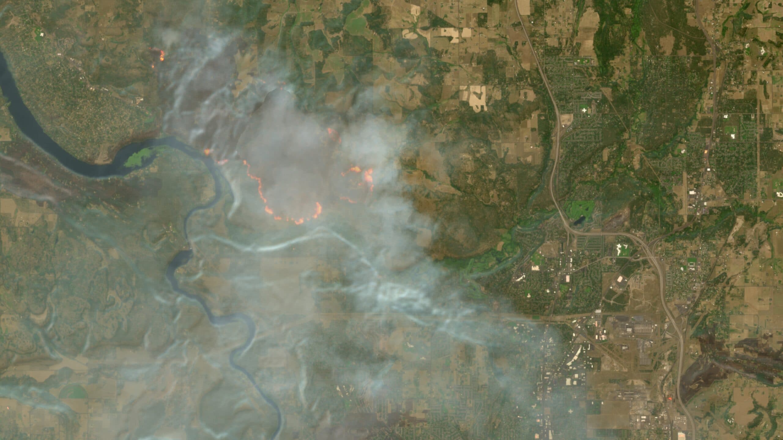
Europe's Copernicus Browser has introduced a new wildfire visualization layer, enhancing the tracking of wildfires using Sentinel-2 satellite imagery. This tool allows users to easily identify active fires and burned areas.
✦ Why It Matters
Start using the Copernicus Browser today to monitor wildfire activity in your area.
Key Takeaways
How It Works
The wildfire visualization layer combines multiple spectral bands from Sentinel-2 imagery. It uses the red visible light band to identify active fires, the near-infrared band to differentiate between healthy and burned vegetation, and the short-wave infrared band to assess soil moisture levels, revealing burned landscapes.
Related